
Transcend Trails
Information Storytelling Map + Graphics
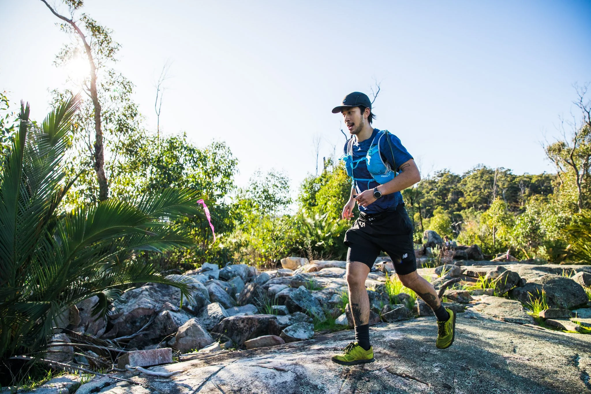
Transcend Trails is a Western Australian endurance event that combines trail running, hiking, and adventure across multiple distances from 6km to 65km, from beginner-friendly routes to ultra-distance challenges. The yearly event promotes connection to nature, wellbeing, and community, encouraging participants to “transcend” their limits while exploring the stunning Avon Valley region. The owners of Transcend Trails is Shane and Mitch from Valetudo Health.
-
Information Storytelling
-
Transcend Trails
-
Health & Wellness
-
Outdoor Community Events
-
Concept development
Creative direction layout, look and feel.
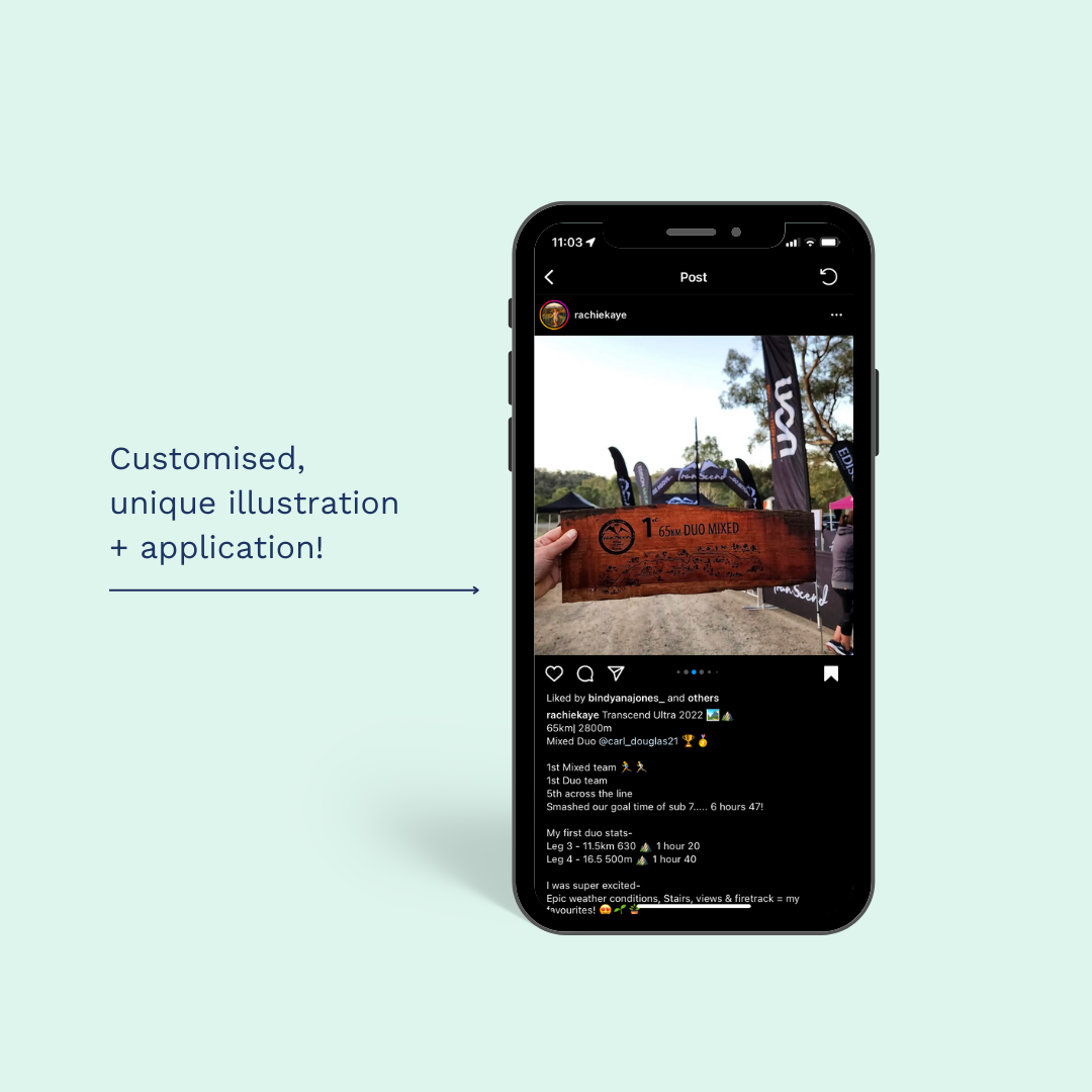
Final artwork , A storytelling-driven map combining route data, landmarks, and local wildlife.
Extracted graphics from final artwork:
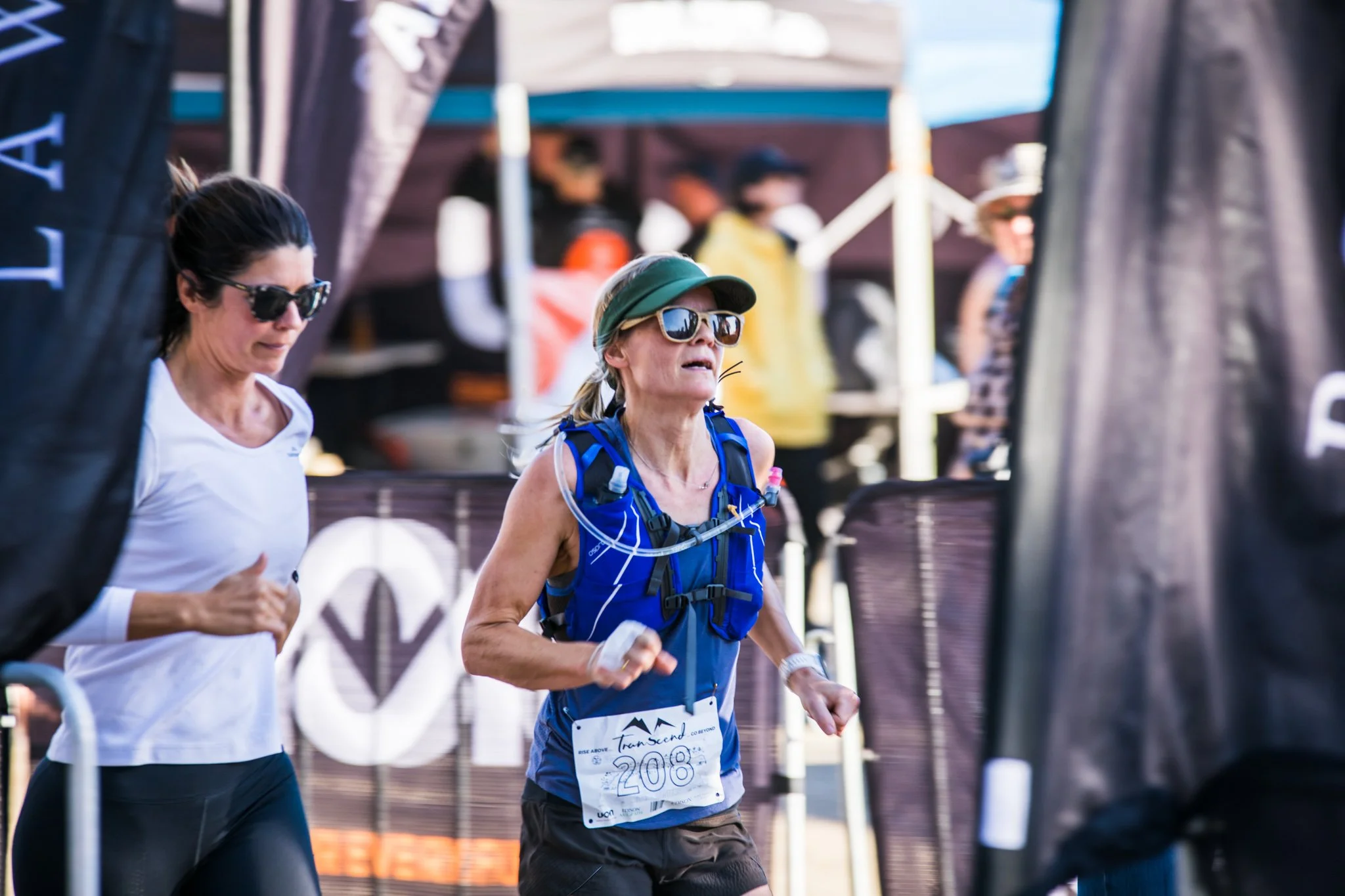
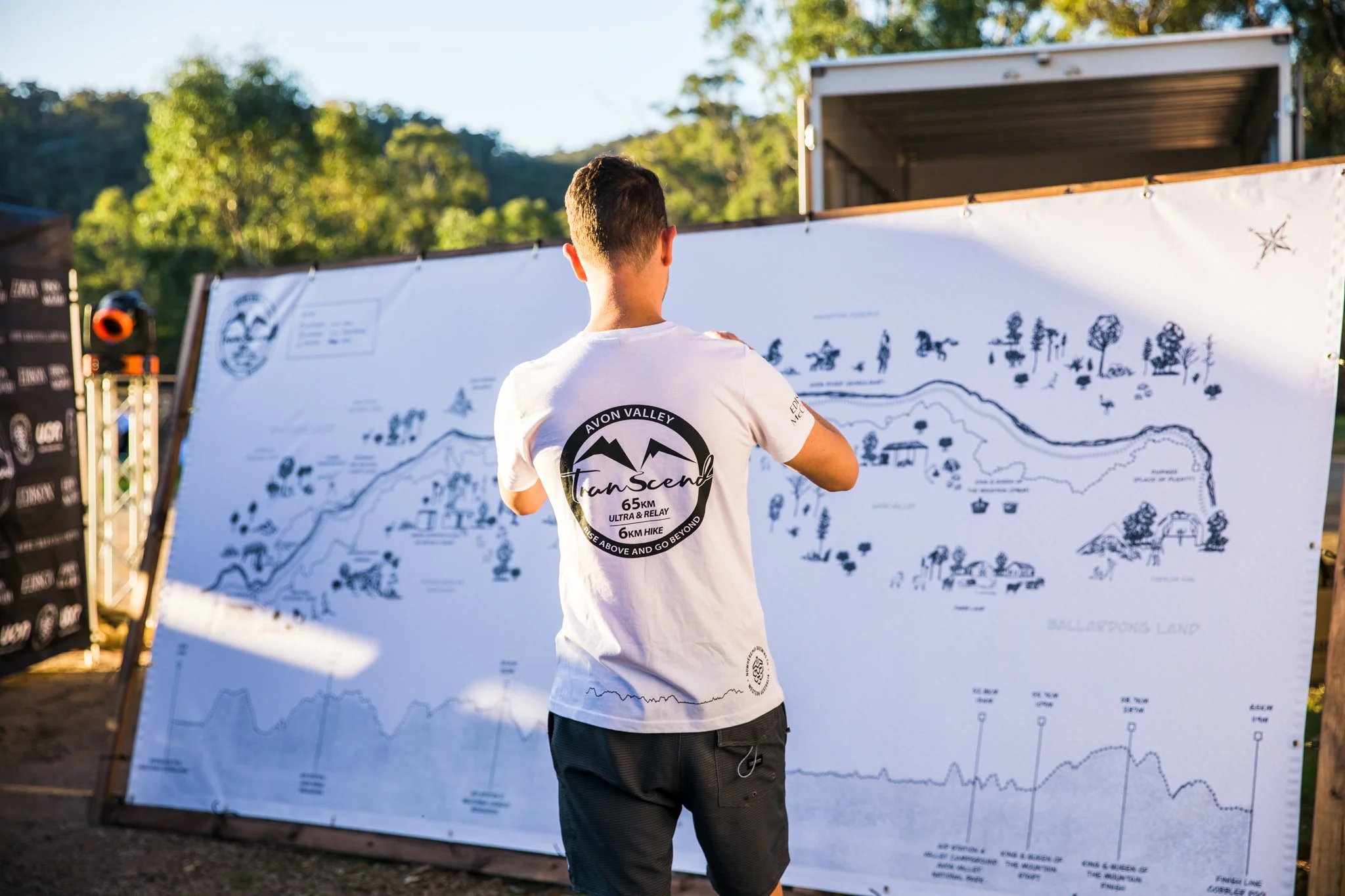
T-shirt + Bib Graphics – Trail line and symbolic elements adapted into wearable designs.
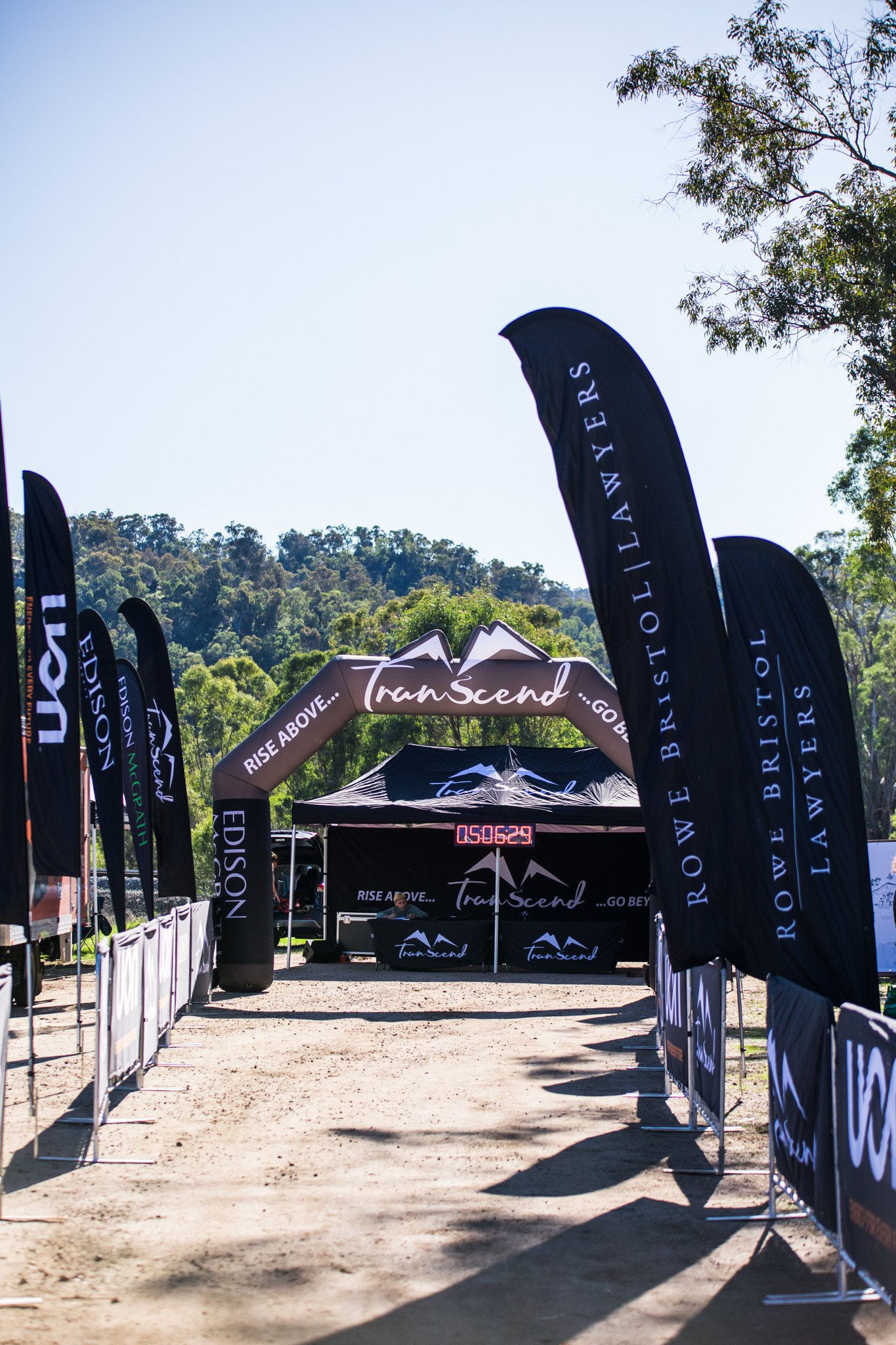
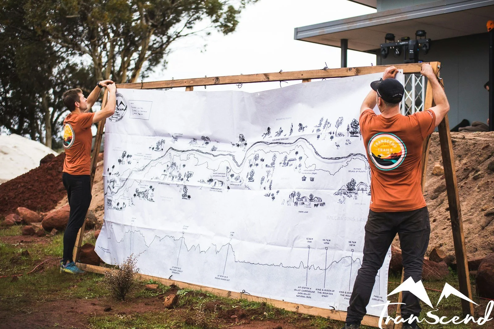
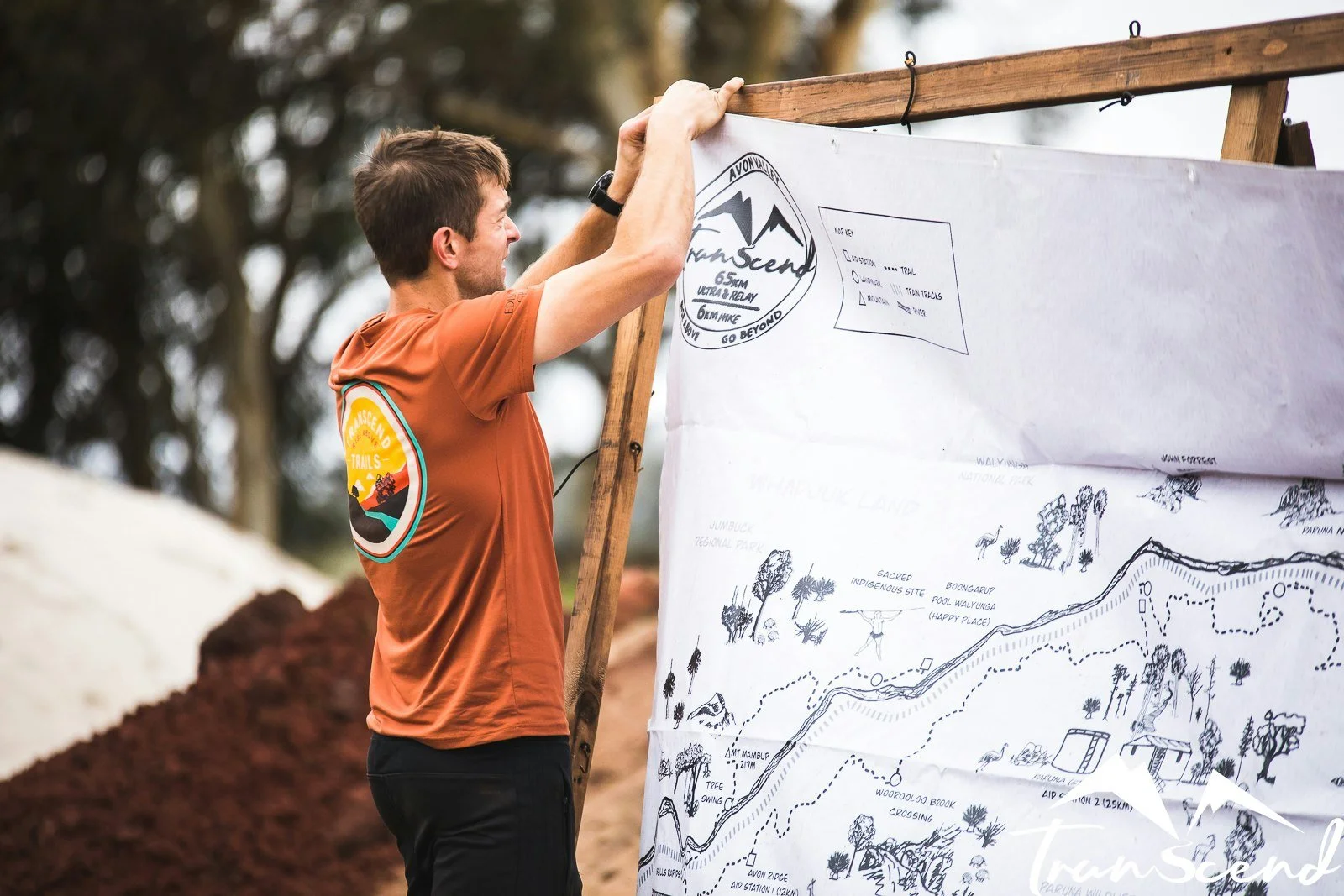
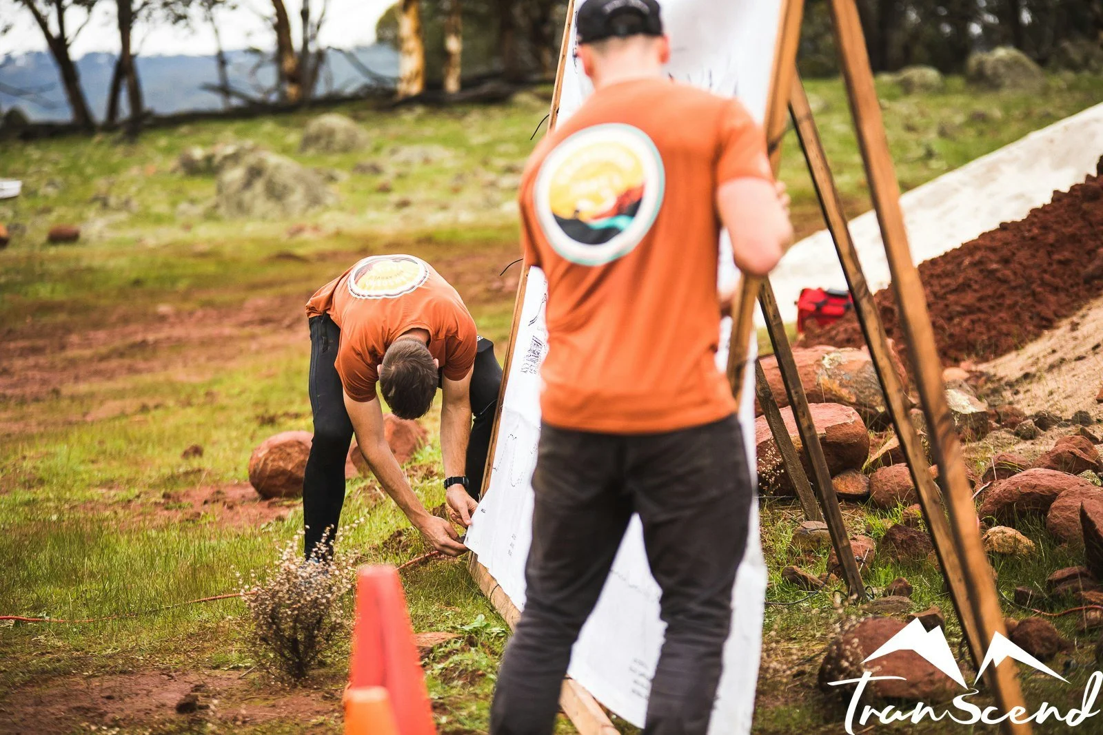
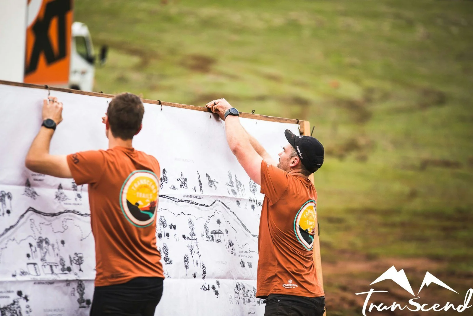
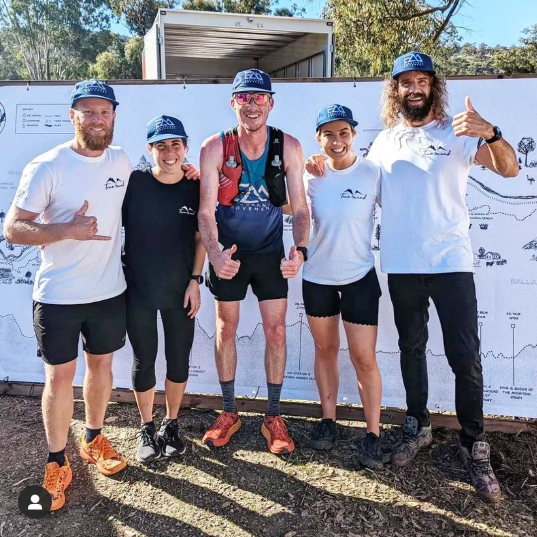
Event Backdrops + Signage – Large-scale visuals for start and finish zones, enhancing atmosphere and cohesion.
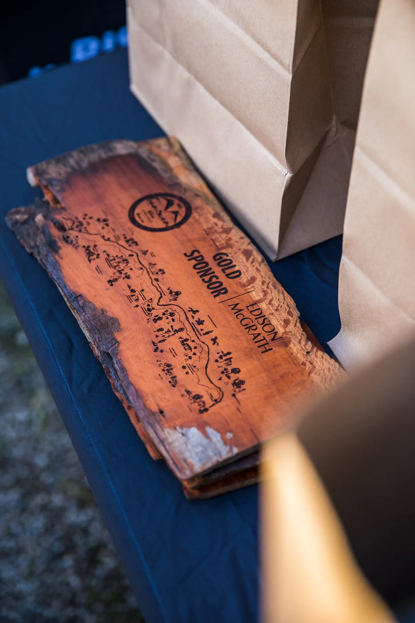
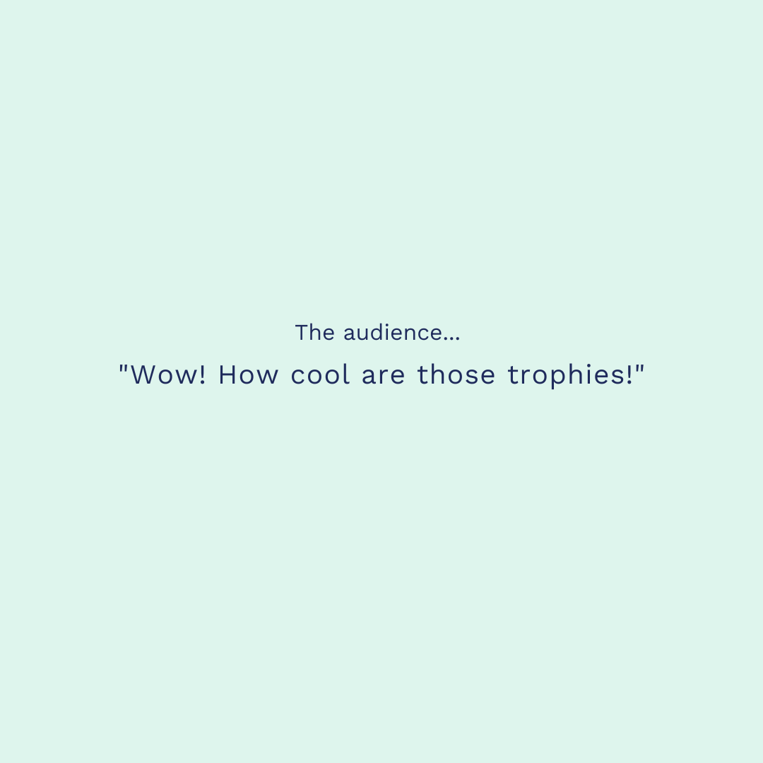
Trophies + Medals Artwork – Map-inspired designs reflecting the event’s heritage and sense of place.
Illustration Elements – Hand-drawn icons and textures inspired by regional flora, fauna, and terrain.
Final Artwork Files all assets exported and prepared in relevant formats for print and digital use.

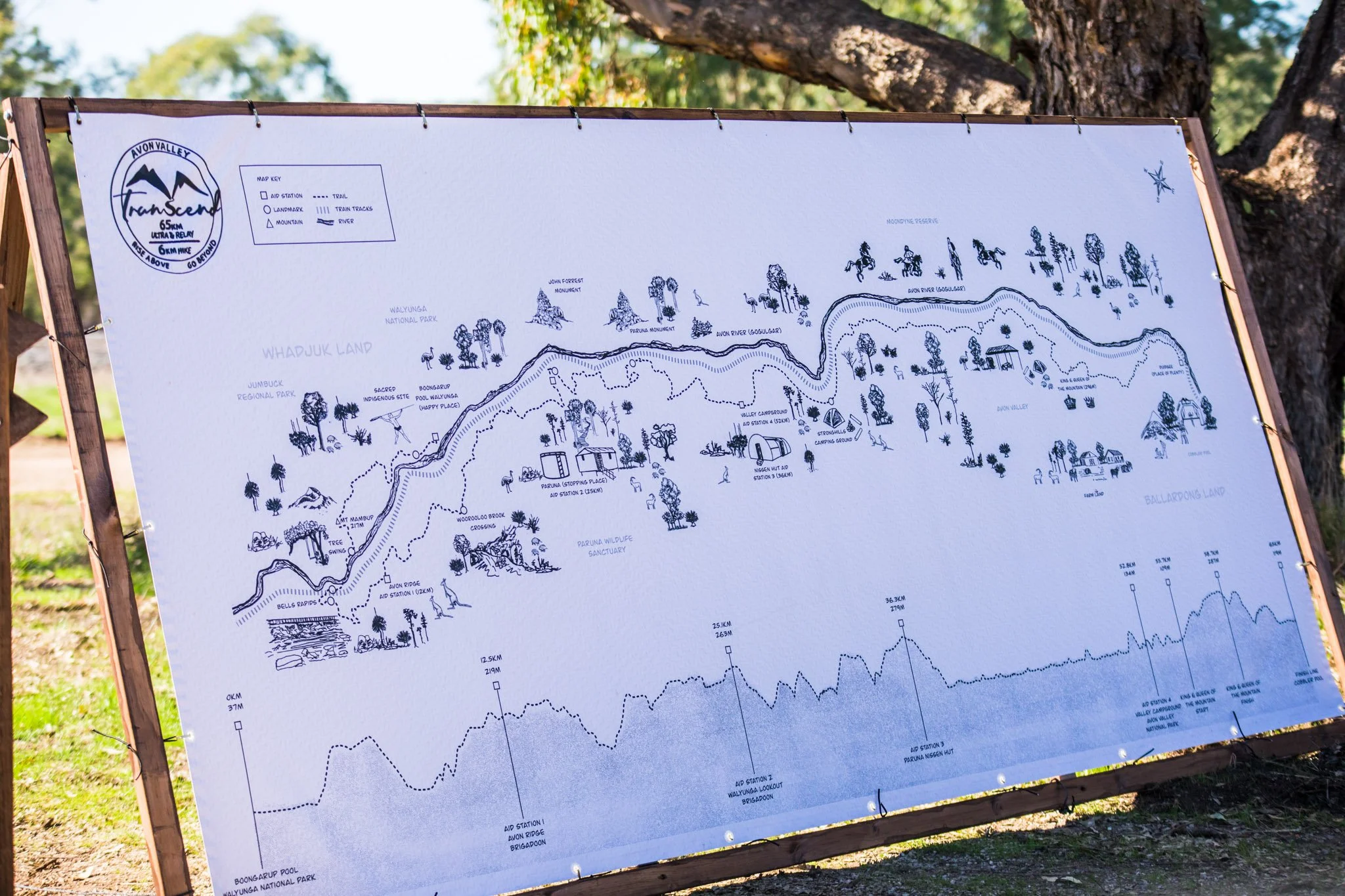
Transforming route data, local history, and event logistics into a visually coherent information system that captures the spirit and unique ecological character of the event.
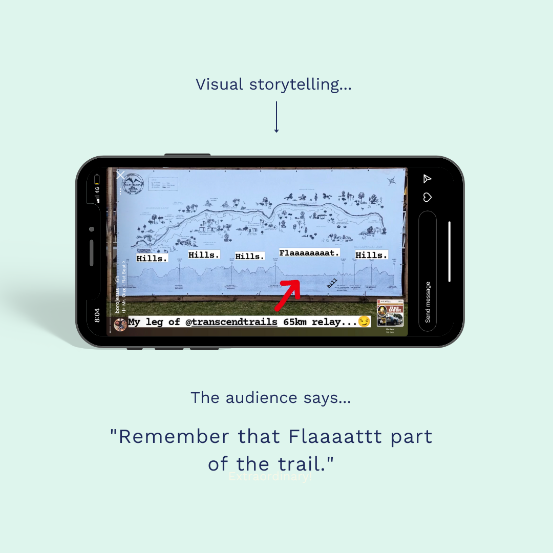
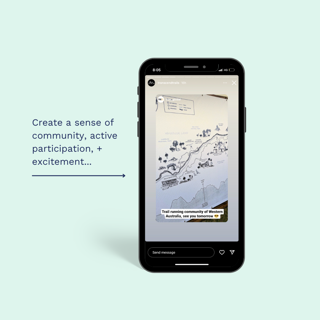
A straightforward legend helps users interpret altitude, distance, and route details without cluttering the visual narrative. The topographic rendering allows runners to immediately identify incline zones and terrain shifts across the full map view, understanding where climbs concentrate and where terrain eases before they encounter it physically. The layout prioritises intuitive wayfinding and journey comprehension, allowing participants to clearly understand their path while feeling embedded in something larger than their individual performance.
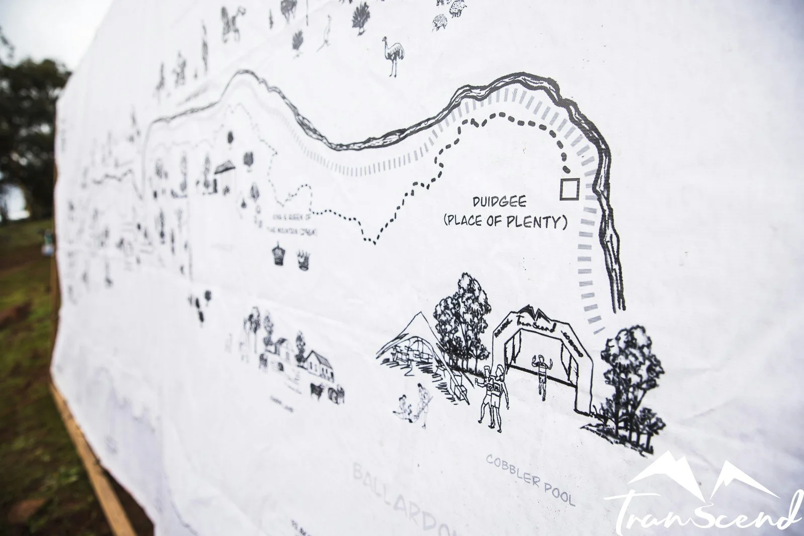
The map has three interconnected information layers: historical context that reveals the human stories held within the landscape, topographic and ecological data that describes the physical terrain and natural systems runners move through, and race logistics that provide essential wayfinding and support information. Each layer informs the others, creating a complete picture of place, story, and experience.
The information storytelling we created developed functions across multiple applications, map backdrops, trophies, race bibs, t-shirts, promotional videos, and marketing materials. With altitude data and location coordinates provided by the Transcend Trails team, we created something genuinely distinctive: a map that synthesises story, landscape, and community into one integrated visual experience.
The Story
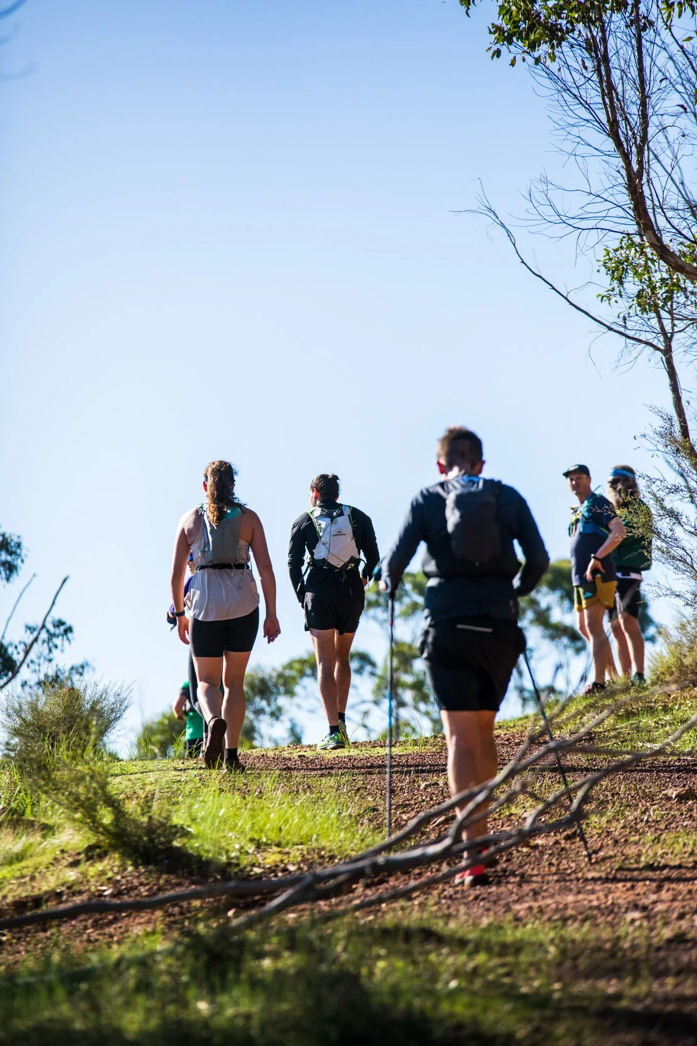
Transcend Trails embodies a warm, community-driven spirit rooted in trail running, health, and the deep connection between endurance, adventure, and nature. They sought to create something fundamentally different, not another digital experience, but a tangible connection between the landscape, the community, and the human experience of moving through place. The aim was to craft something with genuine meaning, anchored in local identity and the stories held within the land itself.
We designed an information storytelling map that wove together the traditional aspects of the region, detailed route data, and essential event logistics into one cohesive visual narrative. Our research delved into the area's landscape, indigenous heritage, native flora, and wildlife to authentically represent the Avon Valley's character and ecological context.
Transcend Trails had already developed a clear aesthetic vision inspired by old Western Australian gold rush cartography. We embraced this direction, incorporating the "horse rider convict,” a nod to Moondyne Joe, the region's most famous bushranger and Western Australia's answer to Ned Kelly. These historical references weren't decorative choices; they connected participants to the layered human stories embedded in the landscape they'd be traversing.
The map identifies critical waypoints including water stations and significant landmarks like Bells Rapids, while illustrating the varying terrain density runners would encounter. We integrated references to local wildlife, echidnas and kangaroos commonly found in the area, grounding the design in its ecological reality and reinforcing the distinct sense of place that defines the Avon Valley.
What we did
We transformed Transcend Trails' event information into a cohesive narrative system that honours place, community, and the practice of trail running.
Information Architecture + Visual Strategy – Developed the overall structure and hierarchy, ensuring clear relationships between data, narrative elements, and visual design.
Research + Contextual Analysis – Investigated the region's geography, indigenous heritage, native plant species, and wildlife to develop accurate visual representations and locally meaningful symbolism. This included secondary research conversations with experienced runners , Transcend Trails Directors and those familiar with the track, gathering insights about the terrain's character, challenging sections, and the lived experience of moving through this particular landscape.
Design Development + Visual Language System - integrated route data, event logistics, and natural elements into one cohesive, storytelling-driven composition. Developed a cohesive visual language system, including graphic elements, iconography, and typography, that maintains consistency across.
4. Illustration + Textural Development – Hand-drew key elements and built layered background textures to create the tactile, heritage-inspired aesthetic that references historical cartography.
5. Collaboration Refinement - Worked closely with the client through multiple revision rounds to refine details and maintain visual accuracy.
6. Delivery - Exported each component for flexible application across print, signage, apparel, and event materials.

Building deeper understanding
The map became an educational tool first, an event guide second. Participants gained genuine knowledge about the Avon Valley's indigenous heritage, native species, and historical significance before setting foot on the trail. They could visually see the full topography, anticipate terrain changes, and understand why certain waypoints mattered within the broader landscape. Being able to see the complete route, terrain, and contextual layers all at once gave runners a comprehension that fragmented digital views may not provide this unique view. This information-rich approach meant they arrived with context, not just a start time. The full visual picture created stronger cognitive anchoring and memory, both anticipatory study and lived experience, which results in deeper retention, richer storytelling, and stronger emotional attachment to place.
When people understand the landscape before they move through it, shared visual knowledge creates shared language, transforming participation into education and building genuine community
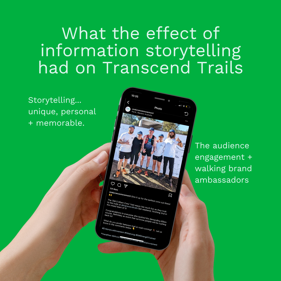
The bi-product, marketing results
that emerged
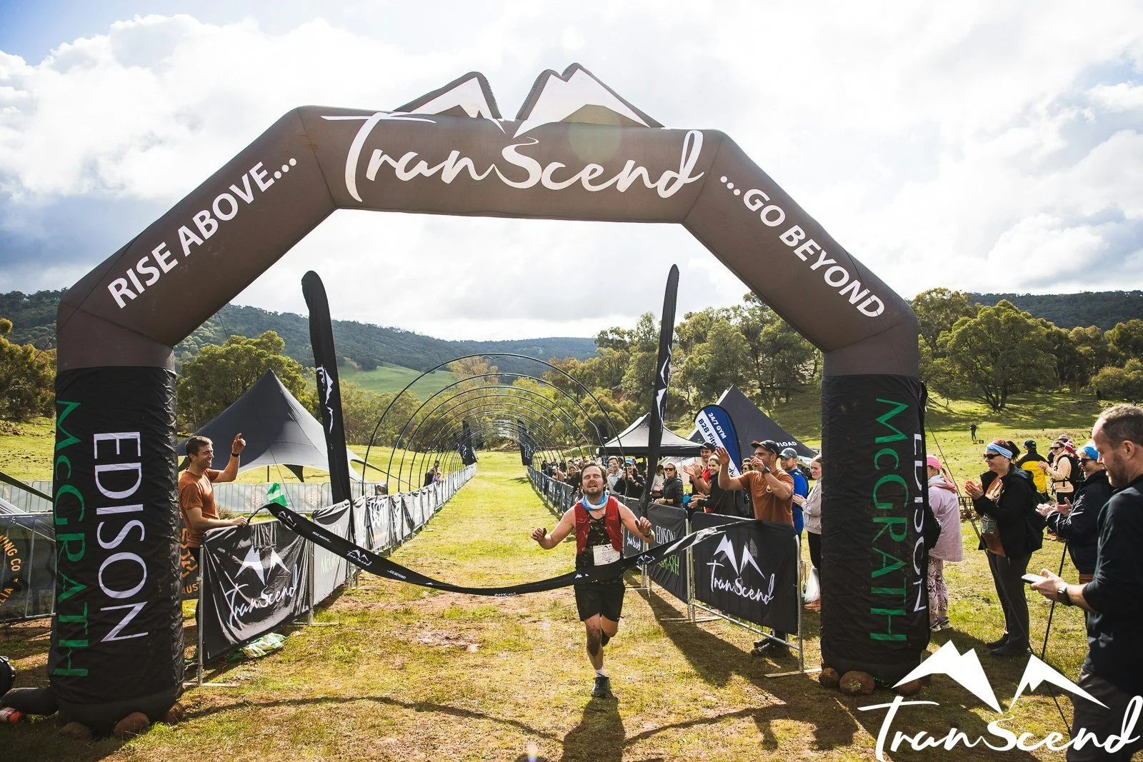
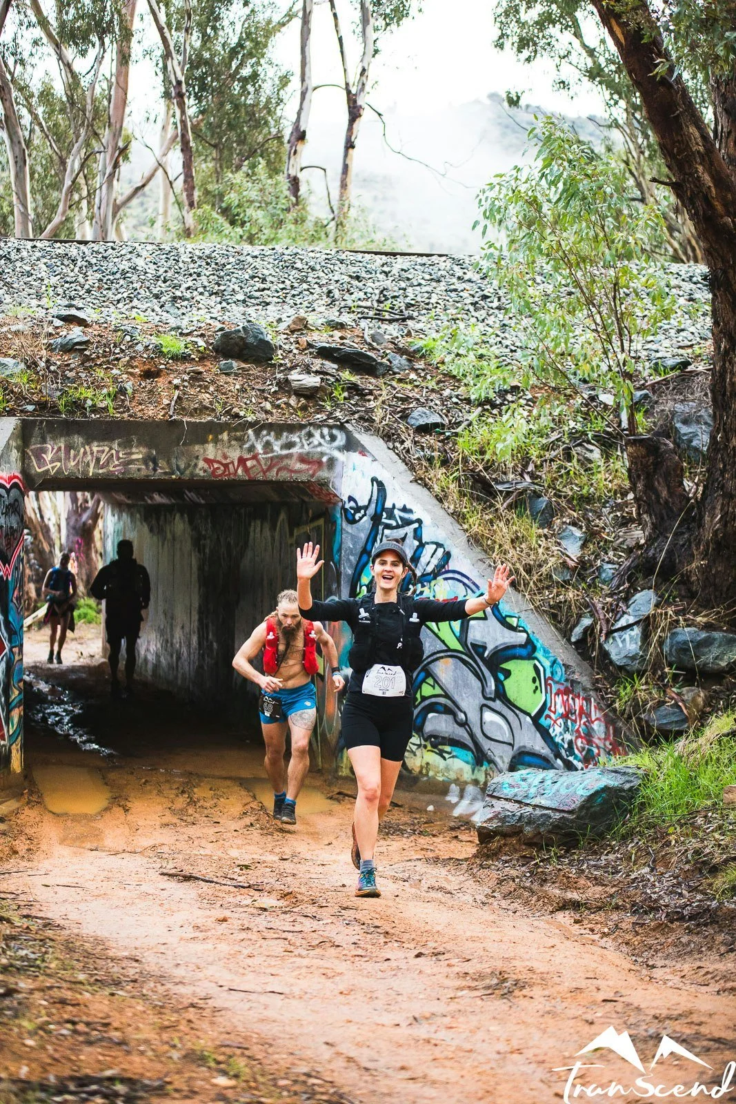
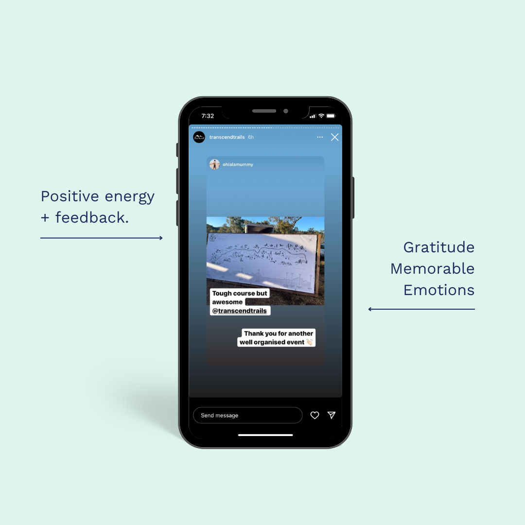
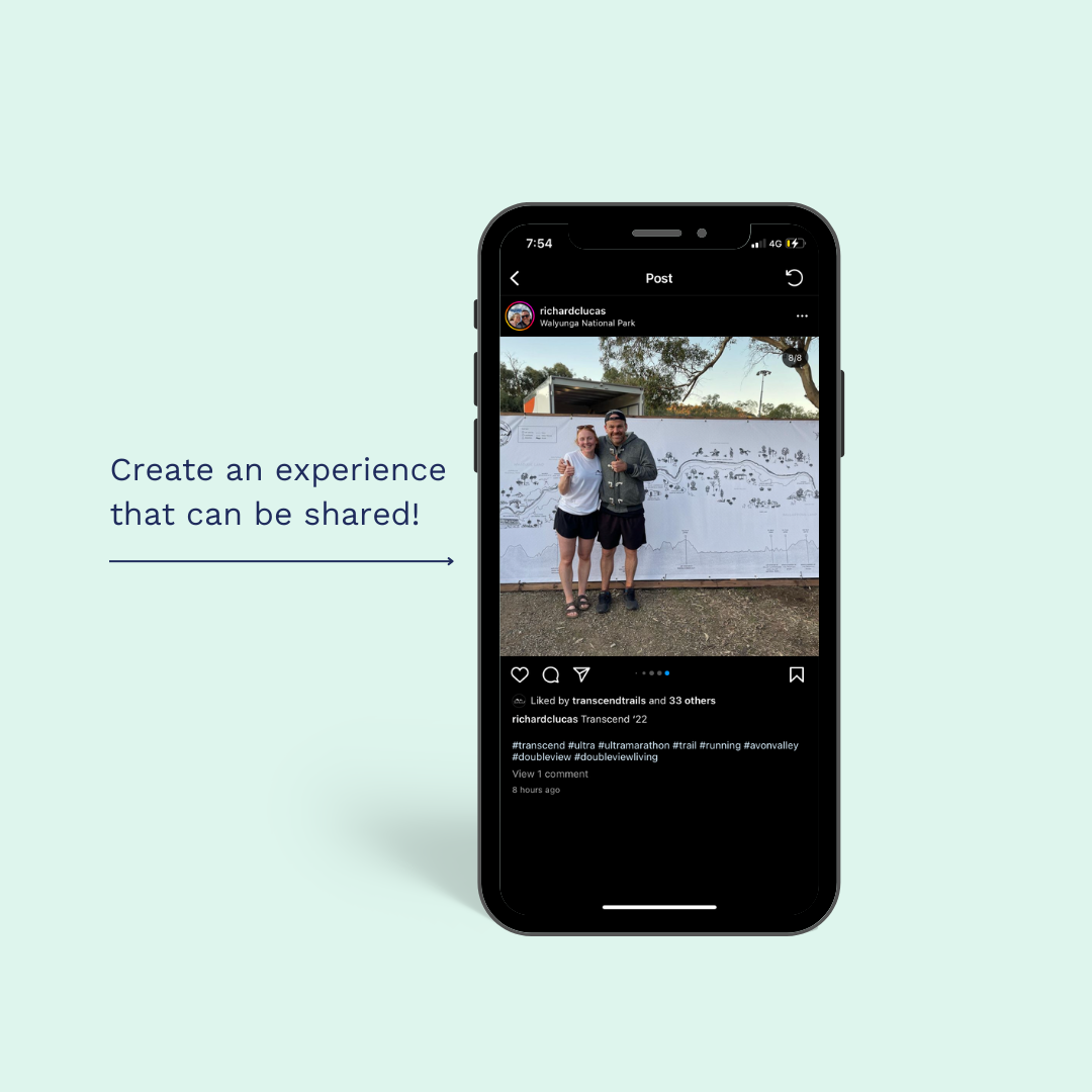
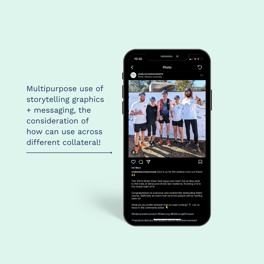
The information storytelling map became integral to how participants experienced Transcend Trails. Runners wore the trail line across shirts and bibs, organically sharing their connection to the event through photos and social media posts that prominently featured the map design. The cohesive visual system unified signage, backdrops, and event materials, creating immediate recognition and strong recall.
More significantly, it fostered genuine connection within the community. Participants weren't simply following a marked course, they were engaging with the ecological, historical, and cultural narrative of the landscape they moved through. The design established a foundation that has evolved each year since, with subsequent iterations expanding the storytelling to incorporate new layers of information, continually deepening the identity, ecological awareness, and sense of belonging that define the Transcend Trails community.
The marketing impact emerged naturally from this approach: when people feel genuinely connected to an experience and understand its context more fully, they share it authentically. The design didn't need to market itself—it simply needed to tell the story well.